Trulia makes natural hazard mapping consumer-friendly

by Rachel Minnery

Incorporating scientific data from federal agencies and organizations is now available at your fingertips (if you’re using a phone app, that is).

Potential homeowners in the Los Angeles area are able to see information on past wildfires thanks to Trulia. Source: Trulia.

Potential homeowners in the Los Angeles area are able to see information on past wildfires thanks to Trulia. Source: Trulia.

A reference for home buyers and renters on the types of natural hazards that may cause harm to people and potential new homes, Trulia‘s  free map overlay allows property owners to see the risks of flood, hurricane, earthquake, tornadoes and wildfire.

Remember a few points:
1) Always check with a local architect or engineer for site-specific conditions that may alter the mapping results, as the map information is typically generalized,
2) the maps don’t typically incorporate risks associated with climate change and sea level rise, so adjust your appetite for risk accordingly, and,
3) Trulia’s data is only as good as the accuracy of federal mapping.
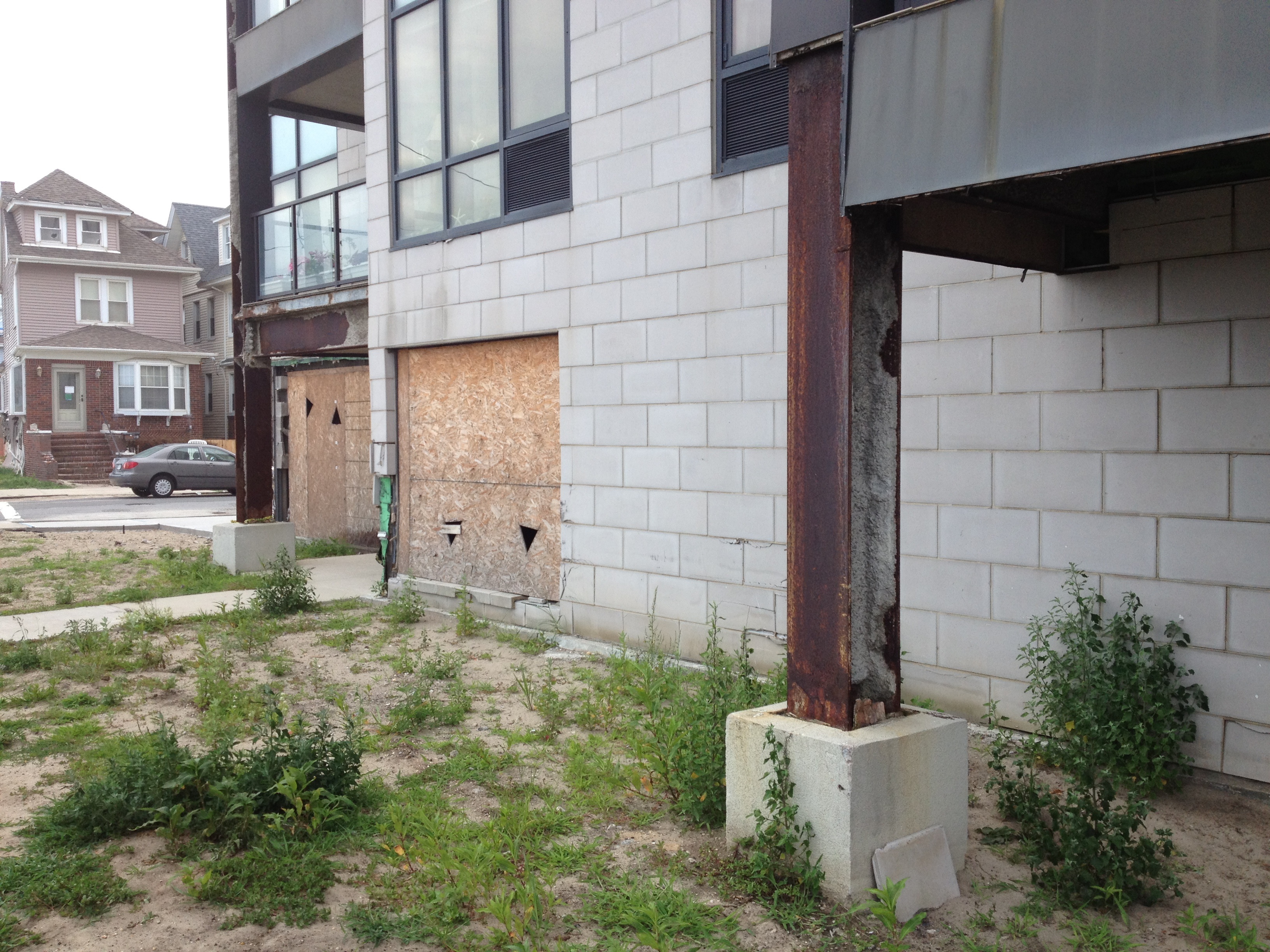
For instance, many of New York City’s flood maps were dated as 1983 when Hurricane Sandy struck the northeast in 2012.

Aside from the latter, kudos to Trulia for making this information public and more easily digestible than some of the scientific data we see.

To learn more, see Kenan Jue’s blog entry on natural hazard maps at Trulia.

Advertisement

Disasters depend

by Dave Hampton

papdensity

Whose density? Informal settlements ring the hillsides of Port-au-Prince. Source: IOM/UN-Habitat.

In my previous post, I addressed some assumptions author Vishaan Chakrabarti makes in How Density Makes Us Safer During Natural Disasters.

I don’t mean to single out Mr. Chakrabarti – many of his points are well-taken. Among them the reduced energy consumption of urban dwellers, balanced by his acknowledgment that “[r]egardless of the inherent environmental advantages of urban living, however, cities are vulnerable sets of materials and systems, and Sandy revealed some of their glaring deficiencies.” We at messysystems.com can certainly appreciate the notion of a city’s resilience as a resultant of its systems.

However, let’s look at examples of when density does and doesn’t make ‘us’ safer during disasters, especially on this, the one-year anniversary of Hurricane Sandy’s landfall on the East coast of the United States.

Continue reading

Towards resilient regions

by Dave Hampton

Rockawaysdamage_olderRockawaysdamage_new

Post-Hurricane Sandy damage to older and new homes at the Rockaways. Photos by the author.

In How Density Makes Us Safer During Natural Disasters by Vishaan Chakrabarti, the author uses the example of Hurricane Sandy’s effects within New York City to highlight urban resilience:

…higher-density neighborhoods—from downtown Brooklyn and Battery Park City up to Harlem—were up and running within a week. By contrast, lower density areas like Staten Island and Breezy Point—with their single-family homes, elevated power lines, timber construction, and auto-dependency—took longer to recover.

Continue reading